


‘Godzilla’ El Niño could become strongest on record, with 100% chance of lasting into early 2027
‘Godzilla’ El Niño could become strongest on record, with 100% chance of lasting into early 2027
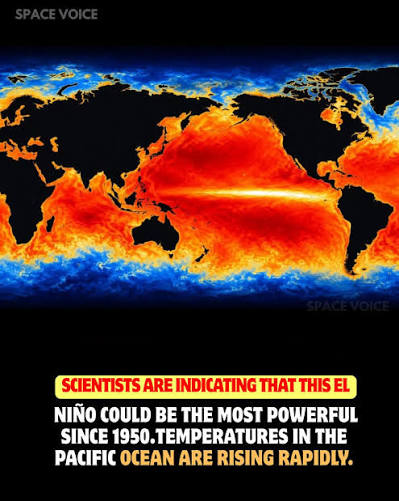
The World Meteorological Organization (WMO) has issued its strongest El Niño outlook yet, warning that the climate phenomenon could persist through February 2027 and significantly increase the risk of extreme weather.
El Niño has intensified sharply across the tropical Pacific and is expected to reach very strong levels later this year. The WMO has put the likelihood of the event continuing through February 2027 at 100%.
The warning goes beyond its expected duration. If the current warming trend continues, the WMO said the event could potentially become the strongest El Niño recorded since modern monitoring began.
Ocean temperatures in the key Niño 3.4 region were already 1.5°C above average from May to July 2026 and reached 2°C above average in July. Weekly readings climbed further to around 2.2°C–2.6°C above average in late July and mid-August.
Subsurface waters have also shown extraordinary warmth, with temperatures in parts of the tropical Pacific more than 8°C above average during July and early August.
According to the WMO, the current event is already among only four El Niño episodes classified as “very strong” in records dating back to 1950.
What could it mean for India?
El Niño can influence weather patterns well beyond the Pacific, including India’s southwest monsoon. Historically, El Niño has often been associated with weaker monsoon rainfall and drier conditions in India, although the relationship is not absolute and other climate factors can influence the outcome.
With the event expected to strengthen further toward the end of 2026, its potential impact on global temperatures, rainfall and extreme-weather patterns could extend well into 2027.